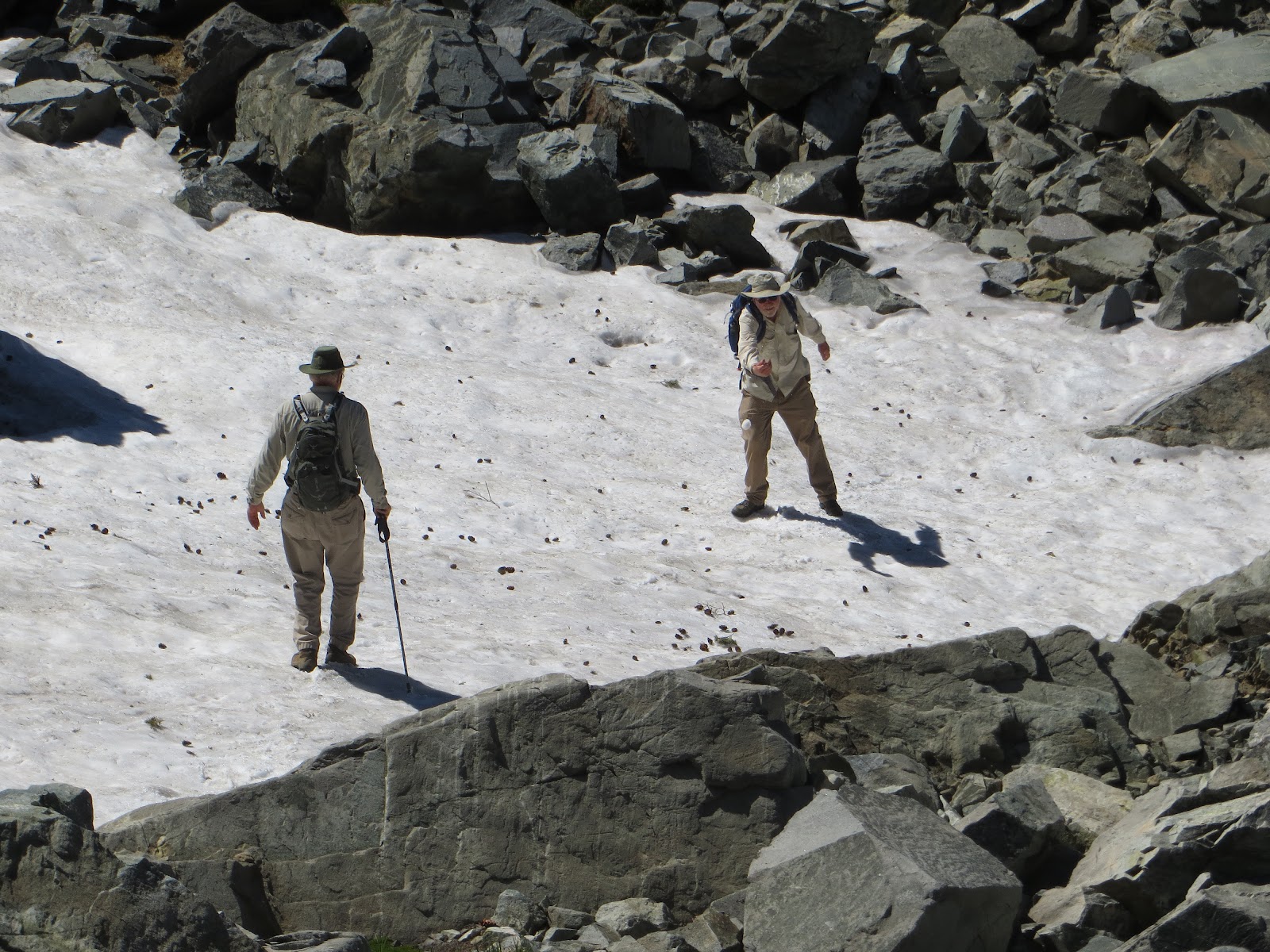
The eight o'clock group attracted six of us who headed up to the Warren Lake Trail for the most beautiful hike ever. We parked on the north side of the Boreal exit, cross countried to the PCT, and headed east to the Warren Lake/Summit Lake junction. Then we headed north, going through blooming meadows to the pass where we usually take the short lateral up to Frog Lake overlook. The wind was blowing hard as we went over the pass and headed down towards Warren Lake. The trail was steep in places but would level out through the meadows, past the snowbanks that were feeding the meadows. We got to a ledge and decided to to have our lunch there. The granite made comfortable seating as we could hang our legs over the edge straight down to an incredible valley. We knew Warren Lake was out there somewhere but the view from this spot was spectacular: Castle Peak to Basin and beyond...with it's cliffy drop offs into that valley. We all agreed we could stay there forever...as the air was perfect, the sky perfectly blue with a few wisps of fast-moving clouds. The wind was waving the willows and spirea down in the valley. Hummingbirds were working the trees and penstemon on the cliffs.
  |
| elephant heads |

After lunch we couldn't resist the siren call of yet more meadow/flower viewing as we rounded the steep cirque towards the valley below. We left the incredibly steep downhill trail several times - once to look at a humongous piece of lava rock, another to look at a rather large sun-bleached vertebrae, and a sign of man: a snow-mobile gas tank. The rock overlooks all begged to be explored for further view as we looked up at the Basin Peak ridge overhead. Was this cirque an ancient volcanic crater?
 Down at the head of head of the valley, we ran across a lone hiker and his dog. Although he was on a recreational hike, he was a member of the Truckee sheriff department and had been involved in a search and rescue operation in the area a few days before. It made a great cautionary tale of a woman heading off too late in the day, alone, and with half-baked ideas. We tax-payers pay for this sort of nonsense.
 We decided to turn around as we knew we had a very steep uphill to start our return hike and miles to go. Way back at the confluence of the Warren Lake and PCT we met a Washington State couple reading books and waiting on the trail for their son, a thru-hiker. They were picking him up to take him to their campsite at Donner Lake before he would continue north. Apparently it is very hard for these thru-hikers to get enough calories so they had laid out an array of food for any hiker who passed. Delicious oranges, drinks, candy, etc. graced the trail. Other thru hikers came by - seems like a freeway compared to Warren Lake Trail, where we and that lone hiker were the only ones.
We had hiked 9.3 miles with an elevation gain of 2400 feet.
Alarmed by the larger number in last week's later group, we did discuss liability. Everyone needs to understand that they are on their own on these hikes. Although we try to help each other, no one person or group is responsible for the inherent danger in mountain hiking.
 We are out of town next Wednesday, but others in our group are planning a hike at 8:00, details to come.
Flowers:
elephant's heads - 2 kinds
lupines - several kinds
mimulus - several kinds
paintbrush - several kinds
lilies: mariposa and alpine and corn
heather
penstemon - several kinds
coreopsis and mule's ears
columbine
cow parsnip
gilia - 2 kinds
checkerbloom
 |
| dragon of the landscape |

On Wednesday
at 9 a.m. Barbara Gable, Marilyn Shulman. and Selma Gregg drove to the PCT
Trail Head. This time we turned left and took the trail under the freeway to
Summit Lake. It was a little cool but warmed up hiking. Still lots of
wildflowers including Mountain Aster, Indian Paintbrush, Mariposa Lily,
Columbine, and many Fawn Lilies. It was delightful to sit in the sun at the lake
and have a relaxing lunch. Many people where hiking the trail . Families with
children and dogs ranging in size from small to large. The large dogs looked
like white chow dogs. Maureen we forgot to ask the names to add to your dog
list. We had a lovely day. Selma