Wednesday, February 9, 2011

Tombstone Schist


Top 5 pictures from Elly.


Middle 5 pictures by Clarence.


5 bottom pictues by Maureen
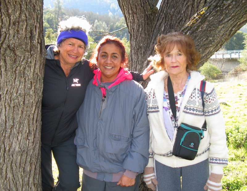
Another beautiful February day...not quite as sparkling clear as last week, but pretty wonderful...lured 8 of us back to Spenceville, where we met up with Karen. This time we did the trail where you have to climb over the gate and head to the red rocks, "tombstone schist". Clarence told us it used to lie at the bottom of an ocean and then was tilted up to their dramatic formations...they exist in the foothills from about where we were seeing them south to west of Yosemite.

The winter light makes for beautiful undulating shadows under the oaks. We discovered many other old trees - a complete old olive orchard...Akiko harvested one and she tried to spit out the taste for the next few minutes...fig trees and a dramatic thorn tree of some kind. Like last week, we shared the trail with groups of cattle. They would get separated from each other and trot along worriedly wondering if we were friend or foe. Their heavy hooves have compressed trails and left hammocks so the going can be a bit rough.

Leader, Clarence, led us around and about on canal paths and cross-country - it was like wandering through paradise. At lunch we sat by a lovely spring while enjoying the frog music. We even saw our first wild flower: a brodaia of some kind. By the time we got back to the cars, Karen was ready to go home. She dispersed a bucket of oranges from her trees (very delicious) and the rest of us went back over the gate for more hike. We wanted to see Clarence's geocaches because one of them had something called a "Japanese Peso". Akiko had certainly never heard of that and it was peaking our curiosity. The first one was in a group of rocks and Clarence hadn't been able to find it the last time he tried. John found it: a large painted plastic bottle with the usual instructions and a place to sign in. It contained a million dollar bill, plastic toys, and some rocks. We donated a packet of emergency-C and were on our way to number two. That one was a small plastic container. But it was number 3 that held the Japanese Peso. We found it and marvelled but were clueless. Well, mystery is solved: Wikipedia says they were issued by the Japanese during their WWII occupation of the Philippines. They were pretty worthless then: you needed 75 of them to buy one duck egg. In 1944, 100 of them bought a box of matches.

Wednesday, February 2, 2011

Spenceville Horseshoe Flat Pond


5 more from Clarence


from Maureen


(I hope I have that name correct) Beautiful clear and sunny day with visibility all the way to the snow-coated peaks of the Coast Range. While the weather started fairly nippy, the sun warmed us to shirt sleeves as we hiked up the hills. Right out of the gate, Clarence cut his finger while gallantly holding the barbed wire open so that the ladies could pass through the opening. After some first aide, we proceeded into the lovely landscaping courtesy of quite a few herds of large cattle. It was calving season and small ones lay in the grass or nursed while one or two very pregnant females moaned - in labor? - and the rest of the herd would low in response. At the homestead a couple of good sized stands of Narcissus blessed the landscape with their distinctive aroma and flocks of birds flew around in the meadows. A catch-and-release fisherman floated around in a raft with legs so that he could propel and steer the craft. Lunch was on the cement picnic tables and then we headed back. A few hikers got so far ahead that they missed the cactus gardens and the turn-off. Way ahead, they didn't hear Jo's whistle and blithely headed toward the road. Frank Harpold went after them while the rest of us went up the hill on the trail. After a while, we all 11 of us met back at the cars, having walked 8.5 miles.


Next week will be the red rocks...Karen coming.

Wednesday, January 26, 2011

Placer County's Hidden Treasure


Maureen sent me these pix from today - and what a talented photographer she is!! I will turn the blog over to John since I'm sure you don't want to hear about spending 3 hours at Sac Zoo with a 4 and 2 year old ("I hungy gamma...")
Nine of us drove down Hwy 49 on another beautiful winter Wednesday to Hidden Falls Regional Park for what has become our annual hike in this relatively new park. I did a little research and discovered that the park was formerly the Didion Ranch and comprises 221 acres with a total of seven miles of established trails. An adjacent ranch, the Spears Ranch (961 acres), was acquired more recently and will be incorporated into the park in the future. It will be nice to eventually have more trails to hike in this beautiful area.
We did our usual loop covering about 5 miles, with lunch at the confluence of Coon and Deadman Creeks. Instead of lunching on the platform, we walked down to the creek level on what I think is a newly constructed stone staircase and trail.
A new hiker, Tom, joined us today and we hope we will see more of him on forthcoming hikes.
There was no discussion about next week's destination, but if Clarence is able to join us, perhaps we will do one of his Spenceville loops. There was also some talk of doing the Cool hike one of these weeks before the warmer weather sets in.

Wednesday, January 19, 2011

South Yuba to Humbug


Selma with a normal lip.


Fourteen of us headed up the South Yuba on a shady trail, searching for sunshine. We found it at various southern exposures along the cliffs. Although the river roared below us, we didn't see it very often. The trail is beautifully engineered and kept relatively clear of windfalls, of which there were quite a few. It's ups and down are so comfortable that we ticked off just short of 10 miles round trip. By the slippery rocks down where Humbug Creek flows into the Yuba, there were swarms of fairly dormant ladybugs. The sun would liven them to some degree but they weren't flying, just wintering. I guess there is safety in numbers but still quite a phenomenon to see. Towards the ends of the trip, Selma's walking stick slid out on a slippery rock causing her to do a spectacular face plant. I guess we shouldn't be too reliant on those things. She ended up in a pool of water, bleeding and swelling from a split lip. We were all thankful she hadn't done more damage to herself or her glasses. Her biggest worry is that she has to get on a plane tomorrow and face family in Southern CA whom she hasn't seen in a loooooong time. Oh well, she has bragging rights: 10 miles!!


No talk about next week, guess we're still waiting for Karen on Red Rocks at Spenceville. There is another hike we haven't done there in a while - to the lake. Also Hidden Falls in Auburn or Stevens Trail. Going lower than GV has been a problem the last few weeks due to persistent heavy fog starting in about Auburn. Some time we might want to go down the Humbug and then take the 1.7 mile trail that goes along at river level past the primitive camp. John reports that after a section of slippery rocks there appears to be a good trail would be fun to try.

Wednesday, January 12, 2011

Rices Redux


Top 7 pictures from Clarence. Maps from Frank.


Repeating the hike of 2 months ago, sixteen of us started at the Rice's Crossing gravel road (up high) and hiked 5 3/4 miles down to Rice's crossing and back up to the trail that sent down to the picnic tables at the park by the Buttermilk Trail. Tammy and Priscilla hiked back to get a car to meet us at the park. Two big picnic tables easily sat us while we basked in the weak but welcome sunlight while eating our lunches.


Several people were interested in the Osage Orange Trees. Frank forwarded some information on them: named after the Osage Native Americans who used the wood for their bows. Merriweather Lewis was responsible for their spread beyond the south central US and they became the pre-barbed wire fence of choice of the settlers due to their thorns. The wood was also used for fence posts. Barbed wire came into use in the 1880's.


Next week (depending on the weather): Hidden Falls? Red Rocks? South Yuba?

Wednesday, January 5, 2011

Western States Trail


Never know what you'll find on a trail.


Finally!! A warm (well, there was frost but we ignored it), sunny day. It brought 17 of us out of our holes and into the sunlight. Having not seen each other, it took a while to get everyone's attention and organize into cars. But we managed to get it together and headed down to the horsehoe tree parking lot on Highway 49 just short of the confluence. The trail was quite muddy in places but was otherwise perfect as it was in the sun a lot of the time. We walked the 3 plus miles to the park with the picnic tables but decided instead to eat lunch on the metal bleachers. We were entertained by the skateboarders and trick bikesters, who sported not one helmet and the usual low pants. I'm sure they really liked having an audience of older people in their hats and sunglasses.

Next week we are hoping to go to the Spenceville tombstones...weather permitting and our fogometer (Barbara) concur - Karen will join us..
Map courtesy of Frank who's baaaaaaaack!! Bleachers pix by Clarence...

Followers

Blog Archive