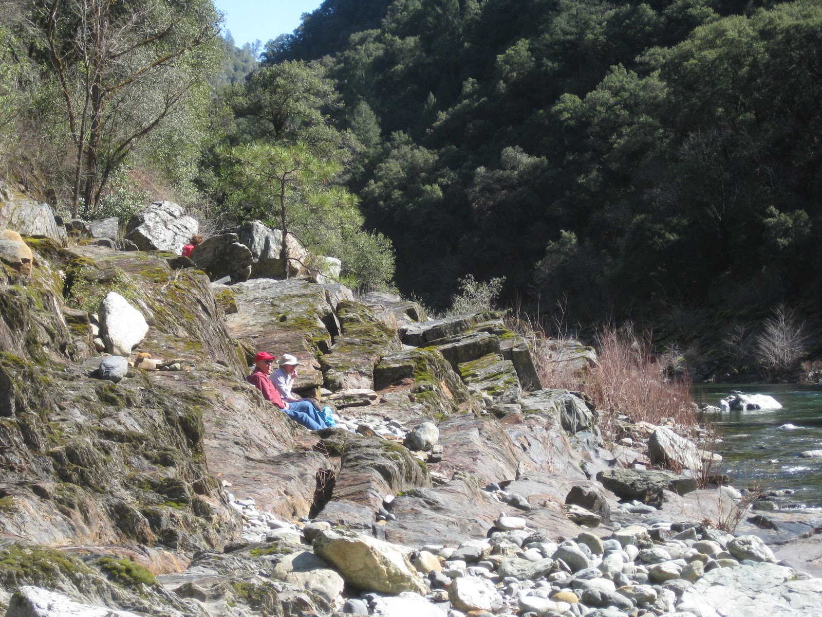
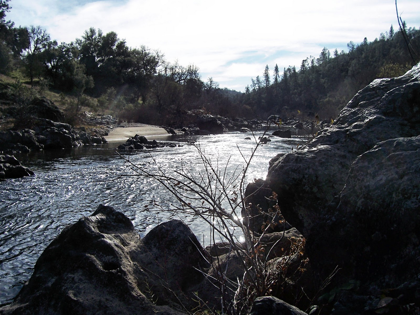
A ridiculously warm day in February - 16 of us hike at Purdon, up the trail towards Edwards. At the cut off to Round Mountain, half of us decided to go up the trail, and half decided to go further and then return to the river for lunch. Rendezvous would be on the Yuba at lunch time.
Error #1: No time was set for this rendezvous. This was compounded by the lower group not actually going much further and the upper group going too far in it's exploration, looking for the possible view out the other side.
When the upper group got to the well-marked trail to the lunch spot, they were dismayed to find that the lower group was leaving, feeling they had waited too long. The upper group needed to go there because they still hadn't had lunch.
Error #2: Carpools were divided up. Two people from the upper group decided to return with their carpool but Tiana was to go for a quick lunch, joining Rod and Susan later at the parking lot. The rest of the upper group was in one carpool.
Although wanting to leisurely enjoy her time by the river, Tiana hurriedly finished her lunch in order to not hold up her carpool. Although she worried about returning alone and being directionaly challenged, she dutifully repeated the directions to us and took off.
Error #3: No one went with a lone hiker.
Returning later to the parking lot the upper group of 5 was more than dismayed to find Rod, Ellen, and Rene still waiting on Tiana. It is fair to say that they were equally dismayed to see us and NOT Tiana. What to do? It was decided that John would take the upper trail and Peter would take the lower trail back about a mile to where the upper and lower join. This junction was the only one we could think of that may have confused Tiana UNLESS she went upstream to Edwards Crossing. The rest of us waited at the parking lot, snagging all the dog-walking hikers to look for a tall German white-haired hiker. By that time we feared she was hurt.
John and Peter returned exhausted and empty-handed. NOW what to do? Our cell phones didn't work at Purdon so, since we felt we might start losing daylight, we decided to drive to where they did work...one car would go to Edwards, the other to Sutton Way to see if her car was there. Perhaps she had gotten to Edwards and found a ride. The Sutton Way car would try to get ahold of the Edwards car and then we would call either 911, Search and Rescue, or the ranger we had met with a radio. Actually we were going to call him, anyway. Akiko and Elly would stay at the parking lot. After we two were loaded up with extra food and warm clothing, and cell phone numbers were exchanged, the rest of the people got into cars. IT WAS THEN THAT ROD FOUND A NOTE UNDER HIS WINDSHIELD WIPER.
Error #4: Check for notes??
Error #5: Leave more than one note!
How was it possible that Tiana had gotten to the parking lot BEFORE Rod and Susan and then decided to catch a ride with Priscilla?
Error #6: Repeat of Error #2.
So how WAS it possible? Tiana, with her long, strong legs; must have taken the upper route quickly back to the parking lot. Rod and Susan and Rene took the lower route and knowing they had to wait for Tiana, stopped to talk to someone and arrived at the parking lot slightly later.
Next week Clarence has mapped out a new hike in Spenceville. Those living closer to Spenceville can meet us at the regular Park and Ride or Hwy 20/Spenceville Rd. jct.
If anyone is interested, here is the link to Elly's 2012 calendar. It may be purchased directly from Lulu.
http://www.lulu.com/content/legacy-lulustudio-calendar/my-calendar/12217884
 Twelve of us, including new hiker Bob Moore, headed down the Stevens Trail. We were surprised to be greeted by quite a few wildflowers on the south-facing slope. Milkmaids, lupine, monkey flowers, CA lilac (?), shooting starts, blue dicks, buttercups, hounds tongue...okay what have I missed?? The bay was in bloom giving off a sweet smell quite different from it's leaves.
 Seeing John sail along last week, I decided to use poles - actually junior poles from REI - much cheaper and would be plenty big for lots of women - smaller and lighter as well. Surprised that I liked them (we needed them for our upcoming trip)...they DO help you go up hills. Is this cheating? Will I become addicted? dependent? As long as I was at REI (Sac), I took my fairly new (last summer) boots and complained that they leaked (on a recent snow trip) - surprisingly, they took them back!! (Akiko was wondering if they saw anyone from the Wednesday group coming, whether they would lock the doors...) Needing new boots, I headed to the boot department and picked up some Keen's - wore them without breaking them in!! Since this was an almost 9 mile hike, that was pretty impressive. I wasn't the only one with something new: Akiko had a new mini-camera and was carefully testing it on various flowers. Now to learn how to send it to the blog.