 |
| Castle Valley with icy spots |
 |
| Castle Pass |
 |
| heading up PCT |
 |
| Use trail on side of Basin |
 |
| Lunch spot |
 |
| Devil's Oven from lunch spot |
 |
| Devil's Oven with Paradise Lake above it |


 |
| Warren Lake Trail |


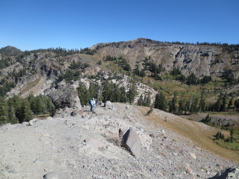 |
| Steep going |

After lunch as we followed our trail as it went around the top of the cliffs above Devil's Oven Lake, Paradise, and Warren Lakes and under the cliffs of the ridge trail between the Basin and Castle Peaks. We could see the lakes as well as smooth, sheered-off rocks reminiscent of Half Dome. Finally we came to a steep downhill section that ended up meeting up with the Warren Lake Trail. And a sign! Our first since the trail off to Sand Lake near the Peter Grubb Hut. The sign said that Warren Lake itself was only a mile away to the left but we headed the other way. The hike was going to be long, the days were getting shorter, and I had been the unlucky recipient of a double yellow jacket sting.

Again we went around a valley until we once again ascended and descended steeply to still-wet meadows under Castle Peak. This must be a very wet hike at other times of the year. Finally we got to the last stream and headed steeply uphill towards the pass where the trail comes close to Frog Lake overlook. I spotted a marmot in the rocky cliffs above the meadows we were leaving. The uphill trail was longer than we remembered it...guess we were getting tired and we still had a lot of miles to go before the cars. There we met some young hikers with some big dogs. At some distance down the trail was a Chihuahua trying desperately to keep up with them.

By the time we got back to the cars, we were pretty tired. We had hiked just shy of 13 miles with a whopping 2650 foot elevation gain and a top elevation of 8600 feet. As we discovered, this entire hike can be been done on trails with no cross-country. But you won't find them on your maps, nor will you find many signs.
 |
| From Peter- thanks |
No comments:
Post a Comment